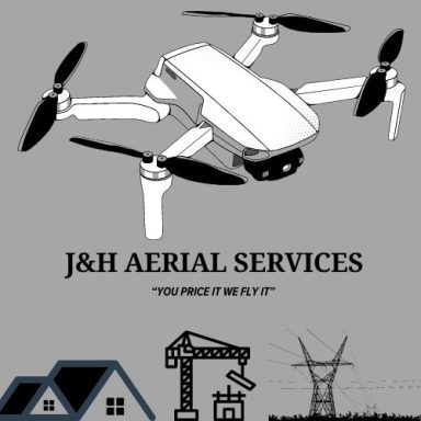
Drone Photography 

In today’s competitive market, capturing the attention of your audience is crucial. Traditional photography has its place, but to truly stand out and make an impact, you need a fresh perspective. Drone photography offers an innovative way to showcase your products, services, or property from breathtaking aerial views, delivering a dynamic edge that conventional methods simply can't match.

Inspections

When it comes to inspecting roofs or historical structures, traditional methods can be time-consuming, costly, and often unsafe. Drones offer an innovative solution that not only reduces risks but also provides faster, more accurate, and more comprehensive results. With cutting-edge drone technology, we are able to conduct detailed inspections of roofs and historical sites, ensuring you get the insights you need with minimal disruption.

                   GIS & Orthomosaic Mapping 

Orthomosaic mapping is a highly specialized service that involves capturing high-resolution aerial images and stitching them together into a seamless, georeferenced map. This process creates a detailed and accurate representation of the area. The resulting orthomosaic map is georeferenced, meaning every pixel corresponds to a specific geographic location. This is achieved using GPS coordinates or Ground Control Points (GCPs) placed in the survey area, ensuring accuracy for precise measurements and spatial analysis. The final map undergoes quality checks and can be exported in various formats compatible with GIS (Geographic Information Systems) or CAD software for further analysis.

When paired with ArcGIS, the capabilities of orthomosaic mapping are significantly enhanced. ArcGIS allows users to import orthomosaic data directly into a powerful spatial analysis environment. Users can overlay orthomosaics with zoning data, infrastructure layers, land use classifications, and more, making it an indispensable tool for urban planning, environmental monitoring, and asset management. ArcGIS tools also enable the extraction of contour lines, the generation of elevation models, the calculation of vegetation indices (NDVI), and temporal analysis through repeat drone flights.

Orthomosaic mapping offers significant advantages over traditional surveying methods. It is cost-efficient, saving time and resources by reducing the need for labor-intensive ground surveys. The maps provide high-resolution imagery with intricate details, enabling accurate measurements of distance, area, and volume. Additionally, orthomosaic mapping allows for scalable applications, from small plots to vast landscapes, and offers the flexibility to include overlays like contour lines or vegetation indices.


Limitations of Orthomosaic Mapping 

Photogrammetry based mapping does not penetrate tree canopy or heavy brush.  There are methods to obtain accurate data from oblique imagery if the ground is visible from an angle.  Large bodies of water are difficult to map. Extreme weather conditions like storms, rain, fog and winds over 20mph can delay acquisition of data via UAV.


  Applications of Orthomosaic Mapping

    Construction and Development

  • Monitor project progress.
  • Measure stockpile volumes.
  • Create detailed site plans for planning and zoning.

    Agriculture

  • Assess crop health.
  • Monitor irrigation and drainage.
  • Detect pests or diseases early.

    Real Estate and Land Management

  • Create detailed property maps.
  • Showcase land for marketing or sales purposes.
  • Conduct feasibility studies for development.

  Environmental Conservation

  • Monitor deforestation and land use changes.
  • Plan and execute restoration projects.
  • Conduct wildlife habitat assessments.

  Infrastructure Inspection

  • Survey roads, bridges, and utilities.
  • Assess damage after natural disasters.
  • Identify areas needing maintenance.

    Benefits of Orthomosaic Mapping for Clients

  • Cost-Effective: Reduces the need for traditional surveying methods, saving time and money.
  • Improved Decision-Making: Delivers actionable insights that enhance planning and operations.
  • Enhanced Safety: Allows remote assessment of hazardous or hard-to-reach areas.
  • Customizable Outputs: Provides tailored solutions such as contour maps, 3D models, and thermal overlays.


We need your consent to load the translations

We use a third-party service to translate the website content that may collect data about your activity. Please review the details in the privacy policy and accept the service to view the translations.